 PHOTO: Katharyn Brine
January deluge boosts summer rainfall statistics
- Share this story


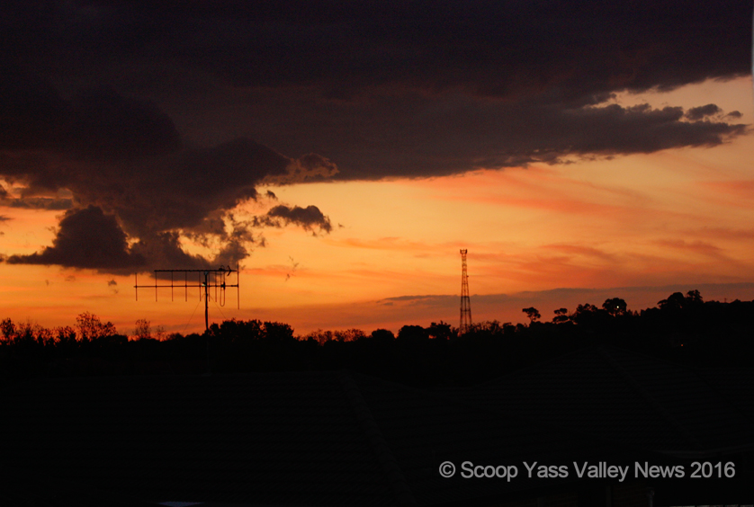
YASS DISTRICT is set for another scorching week ahead with no signs yet that summer officially ended a week ago.
Yesterday’s maximum reached 36 degrees and the heat is forecast to stick around for the rest of the week with maximums of 35 or 36 degrees, dropping just three degrees to 33 on Sunday.
There will be little relief in the night either, with minimums between 14 and 17 degrees all week.
What was a hot, dry weekend however, will develop into a humid midweek with a 40 per cent chance of rainfall on Thursday increasing to 80 per cent for the weekend and a high chance of thunderstorm activity.
Rainfall
Bureau of Meteorology senior climatologist Agata Imielska told Scoop we experienced a bit of everything during summer in the Yass Valley.
Rainfall in December (recorded at their Burrinjuck Dam station) was under the monthly average of 62.8mm, with just 35.9mm. Most of that descended on December 27 with a thunderstorm producing 29mm in one go.
January’s rainfall swung the pendulum in the opposite direction with more than double the average rainfall. We recorded 130.8mm, well above the 62.6mm average for that month.
“January was quite a wet month in your area. You caught the tail-end of an eastern coast system at the start of the month… and the last day of the month had a big downpour of 35mm,” she said.
The downpour continued into February with 28mm on the 1st.
In fact, the first four days of the month were wet, recording 44.2mm. It was to be the only rainfall the area experienced all month, and kept us well below the average 57.5mm.
For the entire summer (average 182.9mm), Burrinjuck’s rainfall evened out across the three months and we recorded 210.9mm.
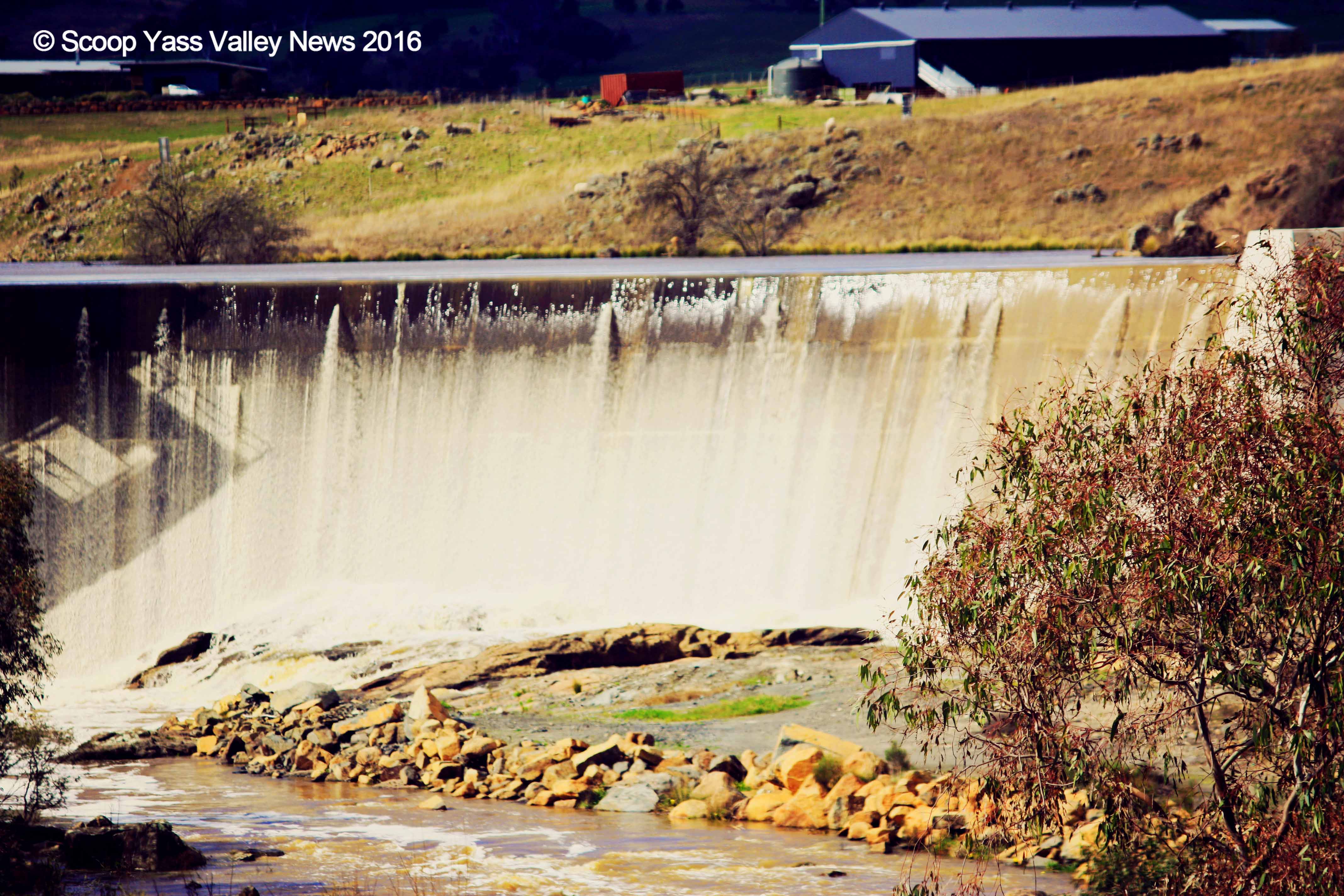
Yass Valley Dam Wall overflows after heavy rainfall. PHOTO: Katharyn Brine
Temperatures
Elders Weather recorded December 8 the hottest night of the month, with a balmy 19 degrees overnight, while two days earlier the hottest day of the month reached 37 degrees on December 6 (equal maximum with December 20).
December’s coldest night had us all digging for our jumpers, when it plummeted to five degrees on December 14, well below the monthly average of 11.8 degrees.
In January the mercury topped 40 degrees on the 13th, flanked by temperatures ranging from 34 degrees and up to 37.7 degrees for several days either side.
The coolest night in January was shared between January 7 and 18, at 8.5 degrees.
The warmest night stayed at an uncomfortable 23.2 degrees overnight.
We welcomed February with the coolest daytime temperature of just 22 degrees, well below the monthly average of 31.7
The days heated up again mid-month but the highest temperature was recorded on February 25, at 39 degrees. That night we experienced the warmest minimum at 18.5.
The coolest night got down to 8.5 degrees on February 19.
“There are a few different reasons working together; one is that we’ve had a persistent high pressure ridge across most of the state, bringing stable warm conditions,” Ms Imielska said.
“Also, a low pressure trough has been funnelling in warm air.”
This had resulted in persistent warm conditions with a lack of cool breaks.
“We are still in El Nino, with increased numbers of heat waves and warmer temperatures.”
*Some weather records for Burrinjuck Dam are incomplete and only measured on weekdays.
Yass Valley has experienced higher than average rainfall over summer 2015/2016 but also higher temperatures with fewer cool intermissions. PHOTO: Dana Brine
Statewide
Statewide, BOM said New South Wales experienced a variable summer during 2015-16, with a wet, stormy January and a very dry February. Both daytime and night-time temperatures were above average, with several heatwaves as well as a cool early January.
The state experienced record-breaking rainfalls (especially along the coast) in January, yet recorded the driest February on record since 1978.
The statewide average rainfall during summer 2015-16 was 15 per cent below the historical average, with close to average rainfall across most of the state.
Rainfall was well above average during January, particularly along the coast, with several stations recording their wettest January on record.
An East Coast Low produced heavy rain and flooding in coastal areas between the January 4 to 7, breaking January rainfall records at several locations as well as some summer records.
This contributed to parts of the Hunter Valley and Central Coast recording their wettest summer since at least 1989-90. Several periods of severe thunderstorms also caused local heavy rain and strong winds during both December and January.
In contrast, rainfall was very low across the state during February, which was the driest for New South Wales since 1978.
Both daytime and night-time temperatures were well above average during summer for the state as a whole, with the mean maximum temperature 1.4 °C above average and mean minimum 1.2 °C above average. Temperatures were warmest in western and southern New South Wales, with closer to average temperatures in the northeast.
There were several heatwaves during the summer, notably between December 10-13, January 18-20, and February 23-26, although only Narrandera recorded temperatures higher than the records set in recent summers.
There were also some cool periods, with several stations breaking January daily maximum temperature records during the East Coast Low in early January.